Route n°6 - Morzinette - Avoriaz
Add to my favorites

Route closed
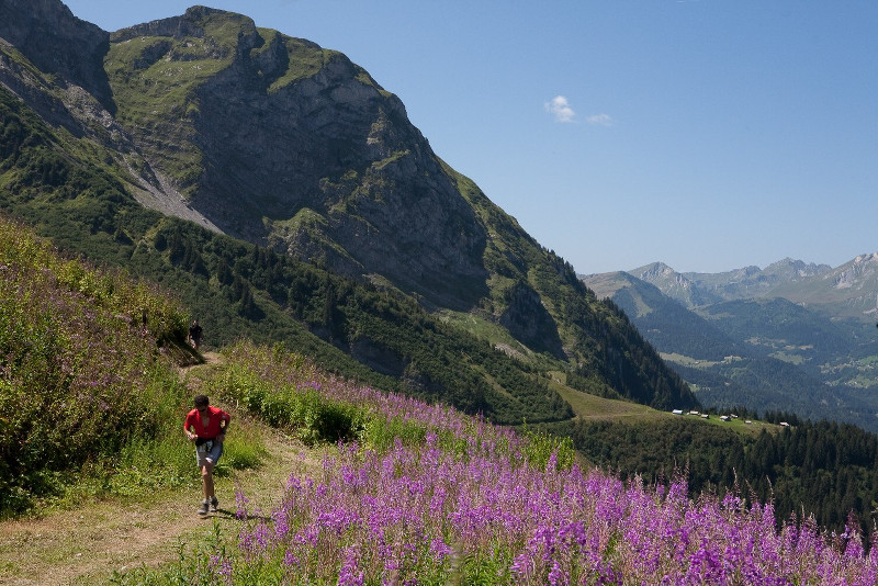
Beau parcours alpin reliant les 2 stations de la commune, sur terrain technique, à la montée comme à la descente.
The characteristics of the route.
Morzine (74)
- Distance 17.3 km
- Elevation gain 1155 m
- Elevation lost 1151 m
- Min. elevation 968 m
- Max. elevation. 1833 m
- Duration (depending on pace) 2h25 à 4h50
- Marking no
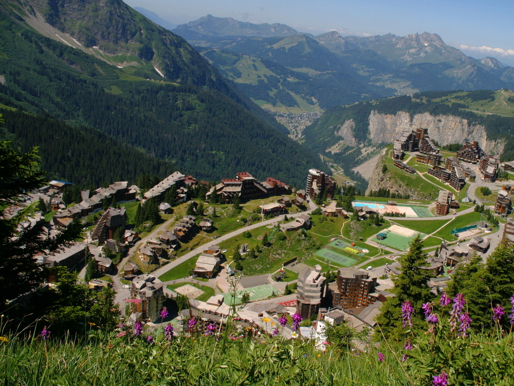
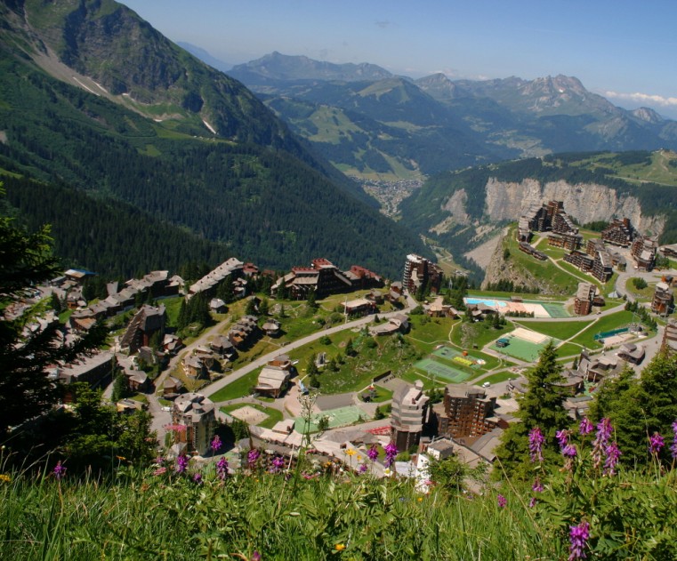
Le passage dans Avoriaz offre un moment de répit et de magnifiques points de vue sur la vallée et les sommets alentours, avant de traverser l’alpage de Serraussaix et de plonger sur Morzine par un single engagé !
Balisage spécifique trail : suivre balisage n°6 rouge
Balisage spécifique trail : suivre balisage n°6 rouge
Area : Morzine
Report a problem Add a comment
Website Pdf map
Add your time and share your feelings


Info & contacts Morzine
Morzine tourism office
Mail : info@morzine-avoriaz.com
Tel : +33 (0)4.50.74.72.72
![]()


OK
Annuler